Nous utilisons des cookies pour vous garantir la meilleure expérience sur notre site. Si vous continuez à utiliser ce dernier, nous considèrerons que vous acceptez l'utilisation des cookies. J'ai compris ! ou En savoir plus !.
banniere

Le portail francophone de la géomatique

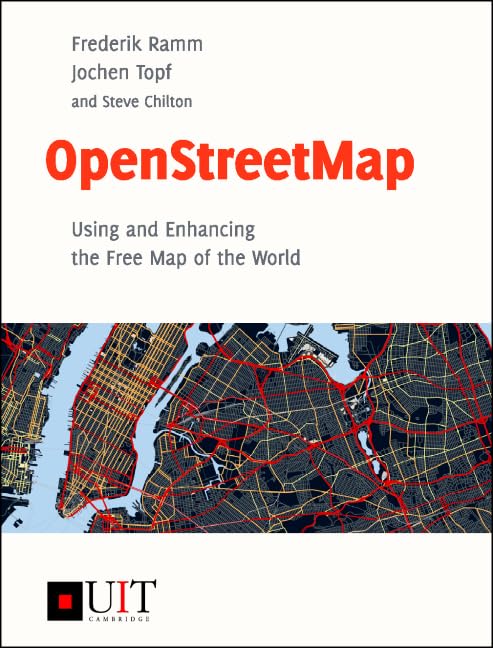
[livre] - FREDERIK RAMM, JOCHEN TOPF - 2009 - OpenStreetMap - Using and improving the free world map - Lehmanns Media.
http://www.openstreetmap.info

Rubrique : Données / Données vecteur


Description : This is the website for the book "OpenStreetMap: Using and Enhancing the Free Map of the World". The English language version has been published in September, 2010.

OpenStreetMap is a map of the whole world which can be used and improved by anyone. Using an open community process, thousands of people from around the world collect geodata in a central database.

The book gives a comprehensive overview about the community, the data model, and the software. It will put you in a position to use this growing collection of geodata for your own projects.

The book also explains in detail how the geodata is collected and edited for OpenStreetMap. If you want to help improve the map, this book is the ideal starting place.


Retour à la page précédente