Rubrique : Manuels logiciels / Esri / ArcView
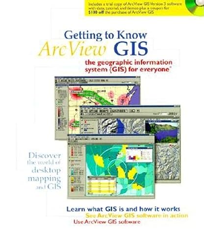
From the Introduction: Move over text files, move over spreadsheets, and databases: geographic information systems have arrived on the desktop. Geographic information systems (GIS) let you visualize information in new ways that reveal relationships, patterns, and trends not visible with other popular systems.
Getting to Know ArcView GIS presents the concepts upon which this technology is based, how it works, and what it does. In part 1 of the book, you'll see how people in a wide range of fields are using desktop GIS to find potential customers, locate the best place for a new business or facility, identify natural areas needing protection, find the best places to develop real estate, manage extensive road networks, inventory forest lands, do emergency planning in urban areas, manage resources after fire and flood--the list goes on and on. You'll find out how you can use desktop GIS to study and analyze situations and create high-quality maps and charts. You also get to see, in chapter 6, an entire application using a particular desktop GIS, ArcView GIS. In part 2 of the book (chapters 729), you'll learn how to use ArcView by working through exercises that are based on real-life situations.
To supplement the material in this book, we also provide a multimedia CDROM. The CDROM has three parts. The Desktop GIS Primer mirrors the content of the book's first six chapters, presenting similar information in a dynamic way. The ArcView GIS Showcase demonstrates how ArcView software works; you'll see ArcView in action, performing the tasks described in chapters 16. The ArcView GIS Tutorial contains a version of ArcView that's locked to the data and exercises in the book, a help file that contains all of the exercise steps, and videos that let you see ArcView performing each of the exercise steps. We've designed the book, the Desktop GIS Primer, the ArcView GIS Showcase, and the ArcView Tutorial so that you can use them independently or together. The choice is yours.
Année : 1999
Editeur : ESRI Press


