Rubrique : SIG, Applications thématiques / Environnement - Risques
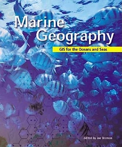
Designed for both experienced marine cartographers and less technically oriented conservationists, this wide-ranging collection of case studies shows how geographic information system (GIS) software is helping scientists, academics, and other professionals study the world's oceans and seas, map various areas of interest, and help preserve marine ecosystems and habitats. Documented in scientific detail is work that is being done in the Atlantic, Pacific, and Northwest Pacific oceans. This work highlights how geography, maps, and data analysis serve conservation efforts at a time when the world's oceans and seas are increasingly threatened by environmental perils. Also explained is how current theories in marine biology, geology, and conservation-incorporated as they are into GIS-based research systems-are having impacts on marine policies and coastal populations. For less technically oriented readers, this book helps to demonstrate why continued conservation efforts are important and necessary to preserve the world's oceans and seas. For experienced marine cartographers or others with a technical background in this field, the book provides specific descriptions of GIS software applications and includes an extensive list and network of author contact information.
Book Description
Designed for both experienced marine cartographers and less technically oriented conservationists, this wide-ranging collection of case studies shows how geographic information system (GIS) software is helping scientists study the world's oceans and seas, map various areas of interest, and help preserve marine ecosystems and habitats. This work highlights how geography, maps, and data analysis serve conservation efforts at a time when the world's oceans and seas are increasingly threatened by environmental perils. Also explained is how current theories in marine biology, geology, and conservation-incorporated as they are into GIS-based research systems-are having impacts on marine policies and coastal populations. For experienced marine cartographers or others with a technical background in this field, the book provides specific descriptions of GIS software applications and includes an extensive list and network of author contact information.
About the author
Joe Breman is a software analyst at ESRI, the marine and coastal community manager responsible for the ESRI marine web site, and editor of the marine newsletter The Wave. He serves as vice president of the board of directors for the Society for Conservation GIS (SCGIS).
Année : 2003
Editeur : Esri press


