banniere

Le portail francophone de la géomatique


Toujours pas inscrit ? Mot de passe oublié ?

RapportYANNICK THIERY - Susceptibilité du bassin de Barcelonnette (Alpes du Sud, France) aux 'mouvements de versant' : cartographie morphodynamique, analyse spatiale et modélisation probabiliste
Des méthodologies d’analyse spatiale probabiliste fondées sur les SIG ont été développées pour cartographier la susceptibilité et l’aléa aux ‘mouvements de versant’ à méso-échelle (1/50 000ème-1/25 000ème), mais peu ou pas à l’échelle du 1/10 000ème, échelle de la cartographie réglementaire des risques. En France, le zonage des PPR est basé sur une approche ‘expert’ jugée assez subjective en raison des erreurs d’appréciation de l’expert. Ainsi, cette recherche a pour objectif de tester la validité de méthodes d’analyse spatiale et de modélisations probabilistes à cette échelle du 1/10 000ème. La démarche repose, en complément d’un zonage de type ‘expert’, sur la sélection de trois méthodes d’analyse spatiale par SIG fondées sur les Logiques floues, la Théorie de l’évidence et les Régressions logistiques. Ces trois méthodes étant sensibles aux variables à introduire (variables à modéliser et variables prédictives), ... Lire la suite

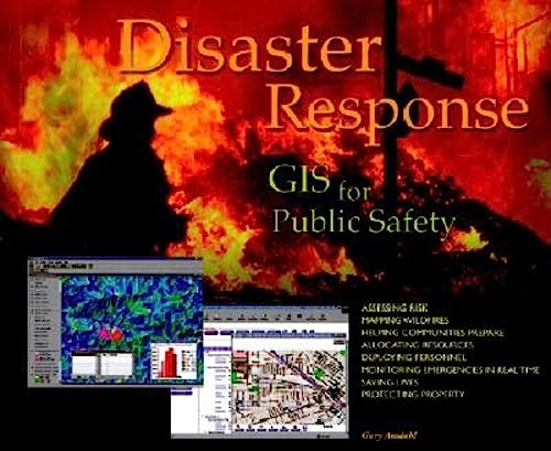
LivreAMDAHL G., DANGERMOND J. - Disaster Response: Gis for Public Safety
Cliquer pour agrandir
Local, state, and federal government units and the private sector need to learn how to best use the GIS technology now in the hands of those on the front lines fighting fires, managing evacuations, and cleaning toxic spills. These case studies illustrate the best new strategies for mitigation, response, and recovery from both natural and human disasters. A wide variety of disasters and scenarios are represented, including a lethal mudslide and wildfires.

Illustrated guide to using geographic information systems to aid public safety and emergency management efforts. Shows how GIS is being used as part of a sophisticated system of preparedness, mitigation, response and recovery in the event of natural disasters and other emergencies. Landscape format. Softcover. DLC: Disaster relief--Data processing.

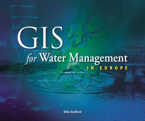
LivreBEDFORD M. - Gis for Water Management in Europe
Cliquer pour agrandir
Through 12 case studies, this book examines various ways that innovative water resource managers are using spatial analysis and electronic mapping to provide increased functionality and reliability to the complex systems they oversee. Water management personnel learn how GIS helps keep track of maintenance needs of the hundreds of miles of historic canals in the United Kingdom, how GIS is providing the technological underpinning for early-warning avalanche systems in Switzerland, and how GIS is used to keep track of the complex system of dikes, pumps, and drainage pools that help Holland maintain its existence as the land reclaimed from the sea. Also discussed is how GIS provides an important tool for European unity, as countries who are seeking acceptance to the European economic union must use the technology to bring their water infrastructures into conformance with EU standards.

RapportBILODEAU JM. - Analyse de la distribution spatiale d'une population pour la planification d'échantillonnage appliquée à l'inventaire forestier

LivreBONHAM-CARTER GF. - Geographic Information System for geoscientists. Modelling with GIS - Computer Methods in Geosciences, Vol. 13
Un excellent ouvrage pour les bases et surtout pour la modélisation environnementale par SIG. De nombreux exemples illustrés, une connaissance solides des statistiques est un plus pour bien comprendre les exemples.

LivreDE SEDE M.H., PRELAZ-DROUX R., CLARAMUNT C. - GERMINAL, un SIERS pour la gestion globale de l'environnement

Article en ligneDELAHAYE D., FOLLIGNE P., GUERMOND Y., VAPAILLE J.P., ZAMBEAUX R. - Pollution du sol dans une zone urbaine : une approche SIG
The southern bank of the river Seine, in the urban area of Rouen, was an important industrial suburb in the 19th century and during the first half of the 20th century up to the urban rehabilitation which began around the seventies. The main industries were foundries and mechanical engineering plants, and later, in the harbour districts, oil factories and naphtha refineries. During the "reconstruction" period, after the second world war, and at the time of the "rehabilitation" , a lot of residential compounds, schools and playgrounds have been established, regardless of the nature of the soils.

A great amount of the ancient industries were replaced by other plants, or by derelict land; so the sequence of the different industrial uses and the nature of the chemical products involved, which have been stored or rejected cannot be easily defined.

The studied area extends on three administrative districts : the left bank of Rouen city area, to the north, and ... Lire la suite

RapportDOUCET B. - Développement d'un prototype d'un système d'information à référence spatiale pour la gestion des données d'aménagement forestier à la forêt Montmorency

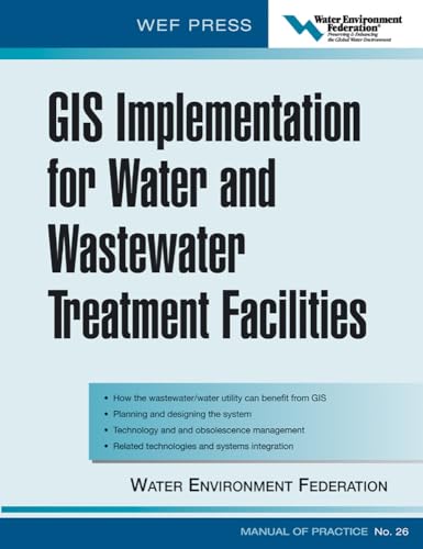
LivreENVIRONMENT FEDERATION, IMP WATER - GIS Implementation For Water And Wastewater Treatment Facilities
Cliquer pour agrandir
GIS, geographic information systems, is finding application in the water community on both the water and wastewater side. GIS is being considered for virtually every medium and large utility to store and coordinate increasing amounts of data. It’s utility is in managing the utilities assets from collection systems, pumping stations, holding tanks, on-site equipment, and individual dischargers. It is a complicated technology requiring significant expertise to implement. “Implementing GIS” is perhaps the only comprehensive resource on GIS for this industry. It is a new MOP written by the experts to give both theoretical and practical knowledge to the utility.

RapportHABYARIMANA L. - La cartographie et les systèmes d'information géographique (SIG) : une application en hydrologie des bassins versants agricoles

RapportHENRY J-B. - Systèmes d'information spatiaux pour la gestion du risque d'inondation de plaine

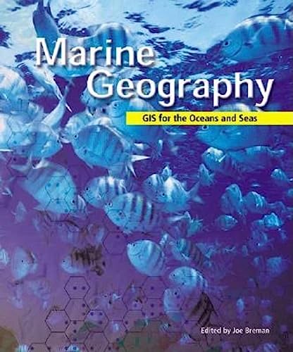
LivreJ. BREMAN (SOUS LA DIRECTION DE) - Marine Geography: Gis for the Oceans and Seas
Cliquer pour agrandir
Designed for both experienced marine cartographers and less technically oriented conservationists, this wide-ranging collection of case studies shows how geographic information system (GIS) software is helping scientists, academics, and other professionals study the world's oceans and seas, map various areas of interest, and help preserve marine ecosystems and habitats. Documented in scientific detail is work that is being done in the Atlantic, Pacific, and Northwest Pacific oceans. This work highlights how geography, maps, and data analysis serve conservation efforts at a time when the world's oceans and seas are increasingly threatened by environmental perils. Also explained is how current theories in marine biology, geology, and conservation-incorporated as they are into GIS-based research systems-are having impacts on marine policies and coastal populations. For less technically oriented readers, this book helps to demonstrate why continued conservation efforts are important and ... Lire la suite

Article de revueJOLIVEAU T. - Gérer l'environnement avec des S.I.G. Mais qu'est-ce qu'un S.I.G.? .

Article en ligneJOLIVEAU T. - Géomatique et gestion environnementale du territoire. Recherches sur un usage géographique des SIG

LivreKANAVESKI M. - MAIGNAN M. - Analysis and modelling of spatial environmental data
This book describes the fundamental methodological aspects for the analysis of spatially distributed data and the steps and instructions to follow for an effective case study. It relates mainly the software " Geostat Office " which has been developed by the author’s team since several years, and also to newly available softwares for advanced geostatistics which were most recently completed, like Winfaik, Multigeo, Baykrig and SVM-CTI. The book is intended for users, so to enable the scientists who face the problem of pollution cartography to solve step by step, following the different modules, the problems which arise when completing spatial data analysis. Several case studies are presented in order to guide the practitioners while tackling real problems with distribution of heavy metals, of radionuclides, and of radon in the soil. In order to avoid incorrect applications, a rigorous presentation of methodology and theory is first presented in each chapter, before showing how it ... Lire la suite

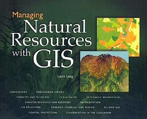
LivreLANG L. - Managing Natural Resources With Gis
Cliquer pour agrandir
As global population continues to grow, mankind must learn to balance consumption and conservation of the planet's scarece commodoties. Geographic information system (GIS) technology brings a new perspective to the challenges faced by natural resource managers. How can agricultural yields be improved without depleting the soil? Where should timber be cut to best protect endangered species? How can landscapes be restored after the extraction of oil or minerals? What can be done to keep land development from choking rivers and coastlines with silt?

This book presents a dozen case studies of real organizations using GIS to address these and other pressing issues of natural resource management. Case studies include: Oregon Department of Forestry, City of New York, World Resources Institute, US Environmental Protection Agency, Chevron Corporation Seaside High School, Delaware Coastal Management Program, US Borax, Portand Metro, USDA Forest Service, New Jersey Dept. of ... Lire la suite

RapportMANCHE Y. - Analyse spatiale et mise en place de système d'information pour l'évaluation de la vulnérabilité des territoires de montagnes face aux risques naturels

RapportPAQUETTE F. - Conception d'un système d'information à référence spatiale pour la gestion et l'aménagement de la Forêt Montmorency

LivrePOPULUS J., LOUBERSAC L. - CoastGIS'99 : Géomatique et environnement littoral

RapportPOULIOT J. - Définition d'un cadre géosémantique pour le couplage des modèles prévisionnels de comportement et des SIG - Application pour les écosystèmes forestiers

RapportROBIN, FRANÇOIS-XAVIER, DEMEULES, VINCENT - Méthodes d'estimations de population : comparaisons et seuils de validité
De nombreuses études dans les domaines de l’environnement, l’aménagement ou les déplacements par exemple nécessitent des estimations de population en dehors des périmètres techniques ou administratifs de l’INSEE. Que ce soit pour évaluer la population soumise à un risque ou à une nuisance ou pour optimiser la localisation d’équipements ou d’infrastructures en fonction de la répartition territoriale de la population, des estimations de population sont donc de plus en plus souvent requises. Ces estimations, de part la nature particulière des périmètres d’études (périmètres d’aléas, bandes d’études routières, isochrones, etc.) peuvent difficilement se satisfaire des analyses statistiques classiques qui s’opèrent dans le cadre de périmètres prédéfinis (îlots, IRIS, communes, etc.) et nécessitent donc l’utilisation de concepts et d’outils SIG afin de produire des estimations de population. Dans le cadre de cette étude, cinq méthodes ... Lire la suite

RapportSCULLY F. - Intérêt et pertinence de la mise en oeuvre de moyens géomatiques combinés SIG et GPS pour une meilleure gestion des épandages d'engrais organiques

RapportSERRE D. - Evaluation de la performance des digues de protection contre les inondations

RapportSERRE D. - Evaluation de la performance des digues de protection contre les inondations. Modélisation de critères de décision dans un Système d'Information Géographique.

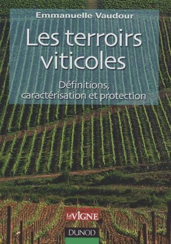
LivreVAUDOUR E. - Les terroirs viticoles : definitions, caractérisation et protection
Cliquer pour agrandir
Le terroir est au cœur d'enjeux commerciaux et juridiques d'envergure internationale. La connaissance de la variété des terroirs, et de leur interaction avec les millésimes et les cépages, est à même de répondre à ces enjeux par une meilleure gestion géographique du potentiel de production. Cet ouvrage méthodologique traite des terroirs viticoles de façon concrète et illustrée, sous leurs multiples aspects : environnementaux, viticoles et œnologiques, en mettant l'accent sur le zonage viticole et la cartographie des terroirs. La première partie est consacrée aux différentes notions de terroir, aussi bien techniques, qu'historiques, juridiques ou économiques. La deuxième partie explicite les différentes démarches d'étude de terroirs, et propose un panorama des démarches entreprises en France et dans le monde. La troisième partie analyse les différents échelons d'approche des terroirs : de la parcelle à la connaissance spatiale du vignoble. La quatrième ... Lire la suite