Nous utilisons des cookies pour vous garantir la meilleure expérience sur notre site. Si vous continuez à utiliser ce dernier, nous considèrerons que vous acceptez l'utilisation des cookies. J'ai compris ! ou En savoir plus !.
banniere

Le portail francophone de la géomatique

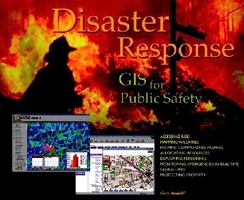
[livre] - AMDAHL G., DANGERMOND J. - 2001 - Disaster Response: Gis for Public Safety - ESRI Press.

Rubrique : SIG, Applications thématiques / Environnement - Risques


Description : Local, state, and federal government units and the private sector need to learn how to best use the GIS technology now in the hands of those on the front lines fighting fires, managing evacuations, and cleaning toxic spills. These case studies illustrate the best new strategies for mitigation, response, and recovery from both natural and human disasters. A wide variety of disasters and scenarios are represented, including a lethal mudslide and wildfires.

Illustrated guide to using geographic information systems to aid public safety and emergency management efforts. Shows how GIS is being used as part of a sophisticated system of preparedness, mitigation, response and recovery in the event of natural disasters and other emergencies. Landscape format. Softcover. DLC: Disaster relief--Data processing.


Retour à la page précédente