Nous utilisons des cookies pour vous garantir la meilleure expérience sur notre site. Si vous continuez à utiliser ce dernier, nous considèrerons que vous acceptez l'utilisation des cookies. J'ai compris ! ou En savoir plus !.
banniere

Le portail francophone de la géomatique

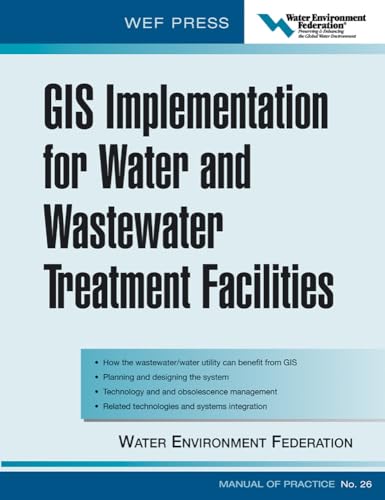
[livre] - ENVIRONMENT FEDERATION, IMP WATER - 2004 - GIS Implementation For Water And Wastewater Treatment Facilities - McGraw-Hill Professional Publishing.

Rubrique : SIG, Applications thématiques / Environnement - Risques


Description : GIS, geographic information systems, is finding application in the water community on both the water and wastewater side. GIS is being considered for virtually every medium and large utility to store and coordinate increasing amounts of data. It’s utility is in managing the utilities assets from collection systems, pumping stations, holding tanks, on-site equipment, and individual dischargers. It is a complicated technology requiring significant expertise to implement. “Implementing GIS” is perhaps the only comprehensive resource on GIS for this industry. It is a new MOP written by the experts to give both theoretical and practical knowledge to the utility.


Retour à la page précédente