banniere

Le portail francophone de la géomatique


Toujours pas inscrit ? Mot de passe oublié ?

Article de revueCOUTARD M., KLIPFEL J-P., BLANC S. - La carto SIG en ligne: les outils libres autour de MapServer

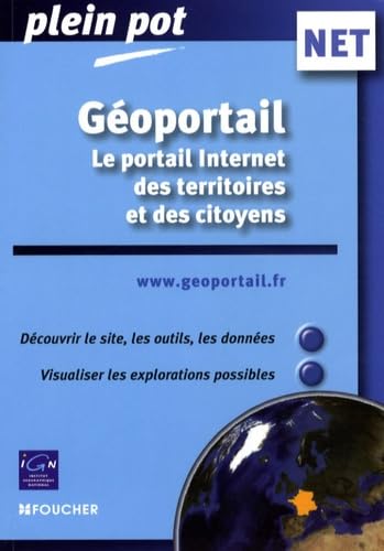
LivreDA SILVA A. - Géoportail, le portail Internet des territoires et des citoyens
Cliquer pour agrandir
Cet ouvrage s’adresse à tout utilisateur du site www.geoportail.fr
Il est édité en collaboration avec l’IGN qui est un acteur majeur du site geoportail.

Présentation de l’ouvrage
Une première partie propose un guide didactique sur l’utilisation de l’interface en 2D et en 3D du site Internet et des fonctionnalités (outils de navigation, menus déroulant, onglet). L’ensemble des possibilités est décrite et illustrée étape par étape.
Une seconde partie présente sous forme synthétique les caractéristiques des données géographiques (cartes, photo, littoral, altitude…) et non géographiques (services publics, parcelles cadastrales, réseaux de transport, bâtiments…) disponibles en consultation et présentées par thématiques.

Chaque « couche » est illustrée de captures d’écran couleurs, échantillon de données, pour une visualisation immédiate de ce que permet le site.

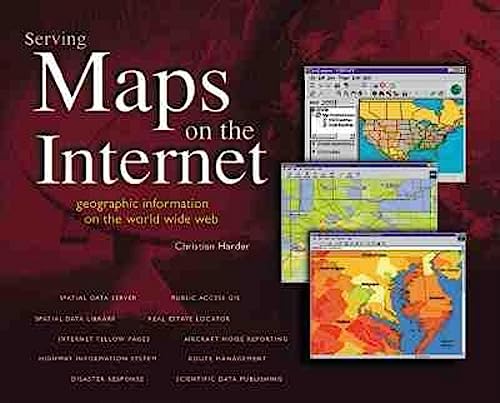
LivreHARDER C., DANGERFIELD J. - Serving Maps on the Internet: Geographic Information on the World Wide Web
Cliquer pour agrandir
Internet-based mapping applications are changing the way that people use and manage geographic information. Here are twelve fascinating case studies that reveal how public and private organizations from around the world use Web-based geographic information systems (GIS) to improve customer service, increase employee efficiency, and inform the community at large.

Case studies include: U.S. Geological Survey, National Association of Realtors, Caltrans, National Ocean Service, Southern California Gas Company, Tantalus Communications, Minneapolis-St. Paul International Airport, Cabarrus County, North Carolina, Interrain Pacific, Telia InfoMedia, ArcData Online, and Edison International

Easy-to-read and richly illustrated, Serving Maps on the Internet is a nontechnical introduction to the why and how of "map-enabled" Web sites. It's a must read for Web designers and organizations with Internet or intranet exposure.

Bonus CD includes a full ... Lire la suite

Article en ligneIETI CONSULTANTS - Panorama des SIG sur le Web

LivrePURVIS M., SAMBELLS J., TURNER C. - Beginning Google Maps Applications with Rails and Ajax From Novice to Professional
Cliquer pour agrandir
The Google Maps API remains one of the showcase examples of the Web 2.0 development paradigm. Beginning Google Maps Applications with Rails and Ajax: From Novice to Professional is the first book to comprehensively introduce the service from a developer perspective, showing you how you can integrate mapping features into your Rails-driven web applications.
Proceeding far beyond simplistic map display, you'll learn how to draw from a variety of data sources such as the U.S. Census Bureau's TIGER/Line data and Google's own geocoding feature to build comprehensive geocoding services for mapping many locations around the world.
The book also steers you through various examples that show how to encourage user interaction such as through pinpointing map locations, adding comments, and building community-driven maps.
This is the first book to comprehensively introduce the Google Maps application development using the Rails development framework.
You'll be ... Lire la suite

Article de revueTALADOIRE G. - Les SIG sur le Web - Revue Internationale de Géomatique, numéro 3
Le développement d'internet a créé dans le monde des systèmes d'information géographiques une augmentation sans précédent de la demande dans ce domaine. Un nombre croissant d'utilisateurs potentiels est prêt à financer une information géographique pour autant qu'elle soit accessible, utilisable et pertinente. Les offres actuelles ne sont pas à la hauteur de cette attente. Un certain nombre de facteurs expliquent ce fossé : formats propriétaires, opacité de la structure des données, dispersion des données sur plusieurs sources incompatibles, etc. Face à ce manque d'ouverture, un certain nombre d'initiatives commencent à voir le jour, ce qui devraient permettre de créer un vaste espace d'échange de données géographiques. Pourquoi des SIG sur internet ? Pour quels types d'applications ? Pour quels utilisateurs ? Comment sont conçus ces systèmes ? Quelles sont les technologies mises en œuvre ? Comment peut-on faire communiquer ces systèmes ? Autant de questions ... Lire la suite

Article de revueTALADOIRE G. - Les SIG sur le Web Revue Internationale de Géomatique. Vol.13. N°3/2003

LivreTYLER M. - Web Mapping Illustrated
Cliquer pour agrandir
With the help of the Internet and accompanying tools, creating and publishing online maps has become easier and rich with options. A city guide web site can use maps to show the location of restaurants, museums, and art venues. A business can post a map for reaching its offices. The state government can present a map showing average income by area.

Developers who want to publish maps on the web often discover that commercial tools cost too much and hunting down the free tools scattered across Internet can use up too much of your time and resources. Web Mapping Illustrated shows you how to create maps, even interactive maps, with free tools, including MapServer, OpenEV, GDAL/OGR, and PostGIS. It also explains how to find, collect, understand, use, and share mapping data, both over the traditional Web and using OGC-standard services like WFS and WMS.

Mapping is a growing field that goes beyond collecting and analyzing GIS data. Web Mapping Illustrated shows ... Lire la suite