Nous utilisons des cookies pour vous garantir la meilleure expérience sur notre site. Si vous continuez à utiliser ce dernier, nous considèrerons que vous acceptez l'utilisation des cookies. J'ai compris ! ou En savoir plus !.
banniere

Le portail francophone de la géomatique


Toujours pas inscrit ? Mot de passe oublié ?

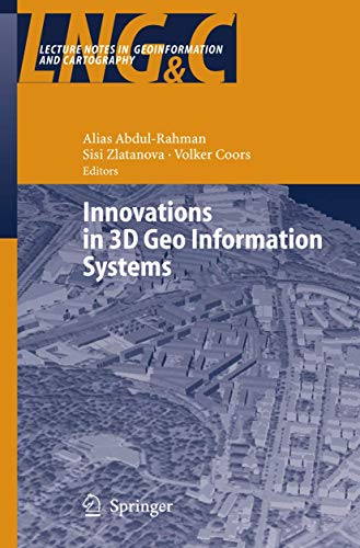
[livre] ABDUL-RAHMAN A., ZLATANOVA S., COORS V. - Innovations in 3d Geo Information Systems
Cliquer pour agrandir

[article_ligne] BERNARD J-L., ESSEVAZ-ROULET M. - Mise en oeuvre d'un Système d'Information Géographique dans une commune (1ère édition)

[livre] BORDIN P. - SIG (Concepts, outils et données)
Cet ouvrage introductif présente les SIG d'abord dans une approche conceptuelle, puis de façon pratique en développant les composantes techniques principales : les applications, les données, les logiciels. Au travers des origines des SIG et de définitions, il explique les spécificités de l'information géographique et ses apports. Il montre ensuite comment ceux-ci prennent forme pour constituer une solution SIG. Il met en avant la diversité de ces solutions en les présentant dans trois contextes applicatifs très différents : les collectivités locales, le géomarketing et les systèmes d'information et de communication militaires. Enfin, il conclut sur le positionnement des SIG parmi les outils d'aide à la décision. Ce livre s'adresse à ceux, étudiants, professionnels ou non-spécialistes, qui désirent soit acquérir une compétence technique dans le domaine, soit comprendre le rôle de ces produits. L'objectif de l'ouvrage est aussi de développer une meilleure ... Lire la suite

[article_ligne] BRIMICOMBE A. - Une approche par la logique floue par l'utilisation de barrières linguistiques dans les SIG

[livre] CASSINI - Représentation de l'espace et du temps dans les SIG
Cliquer pour agrandir
Ce numéro spécial de la revue de Géomatique est consacré aux approches spatio-temporelles dans les SIG.

[livre] CERTU - Systèmes d'information géographique - orientations bibliographiques

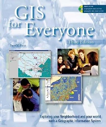
[livre] DAVIS D.E. - Gis for Everyone : Exploring Your Neighborhood and Your World With a Geographic Information System
Cliquer pour agrandir
With a personal computer using technology known as geographic information systems (GIS), anyone can easily access information about which highways to travel to get to work, school, or vacation spots; how close a home is to stores, parks, and schools; and which areas are at risk from floods, fires, earthquakes, or pollution. Using the GIS software that comes with this book, readers will be able to use this information to do everything from creating customized maps and choosing vacation destinations to monitoring environmental hazards and tracking crime trends in their neighborhoods. Included are illustrated exercises using real data to teach readers how to begin using geographic information. A companion web site keeps the provided geographic data updated.

[livre] DENÈGRE J. SALGÉ.F - Les Systèmes d'information géographique
Cliquer pour agrandir
Le but de cet ouvrage est de décrire les principes d'organisation et le fonctionnement des sytèmes d'information géographique (la notion d'information et ses principales sources). Aperçu sur les applications actuelles des SIG.

[livre] GOODCHILD M.F., RHIND D., MAGUIRE D.J. - Geographical Information Systems : Principles and Applications
An international team of experts have made important contributions on Geographical Information Systems (GIS) in this well-organized reference. The first volume offers an excellent overview of GIS, covering fundamental principles and examines basic intellectual, technical and organizational forces which have a profound impact on the development of GIS. The second volume provides insight into national and international programs; socio-economic, environmental, and management applications; and presents some engrossing predictions for the future.

[livre] JOHNSON J. M. - Geographic Information: How to Find It, How to Use It
Cliquer pour agrandir
From simple road maps to advanced global-position satellite (GPS) technology, geographic information is essential in today's world. As a result of computers, the Internet, and satellite technology, geographic information is expanding in both quantity and type. Businesses, scientists, travelers, and countless others rely heavily on accurate, up-to-date geographic information. This book is a unique, timesaving, and easy-to-use reference, steering users through the massive amount of geographic information available from a wide range of sources and providing tips on how to use them effectively and efficiently in real-world research.

[livre] KELLY L., WORBOYS M. - GIS: A Computing Perspective
Cliquer pour agrandir
GIS is essentially a computer-based information system, designed to handle data spatially references to geographic locations on the Earth. This fully updated new edition of Michael Worboys' highly successful book addresses GIS from a computing perspective as opposed to a cartographic, geographic or management perspective. In this way GIS can be viewed as a software system mounted on a hardware platform, supplied with appropriate data. GIS: A Computing Perspective highlights the fundamental role played by computing science, information systems and IT in the field of GIS.The book brings the topic in line with the latest thinking and technologies underpinning GIS. It reflects new developments such as the impact the internet has had in terms of distribution and visualization. The ever-increasing roles of AI, uncertainty-handling and agent-based computing are also covered. The book is aimed at a wide range of students, including those studying computer science, information systems and ... Lire la suite

[livre] LAARIBI - Sig et analyse multicritere
L'intégration des SIG et de l'analyse multicritère constitue une voie privilégiée incontournable pour faire évoluer les SIG vers de véritables systèmes d'aide à la décision. SIG et analyse multicritère met à la portée des non-spécialistes les concepts d'aide à la décision à référence spatiale : il clarifie les notions relatives aux SIG et à l'analyse multicritère et présente un ensemble de solutions conceptuelles et méthodologiques permettant d'en réaliser l'intégration et les outils d'aide à la décision à référence spatiale.

[livre] LEVEILLE L. - Systèmes d'information à référence spatio-temporelle : SIRS

[livre] MAINGUENAUD M. (SOUS LA DIR. DE) - Langages pour les SIG - Traité IGAT Information géographqiue et aménagement du territoire, Série Géomatique

[livre] MARBLE D.F. - G.I.S. : an overview

[livre] MARBLE D.F., PEUQUET D.J. - Introductory readings in G.I.S.

[livre] PORNON H. - Systèmes d'information géographique

[livre] PUMAIN D. - Systèmes d'information géographique

[livre] RAYMOND TREIER, CARMEN TREUTHARDT BIERI, MICHAEL WÜTHRICH - Systèmes d'informations géographiques (SIG) - Concepts et exercices de niveau secondaire II
. Introduction théorique présentant les concepts de base des SIG.
. Quatre exercices pratiques basés sur des problématiques géographiques concrètes.
. Peut être utilisé par toute personne souhaitant découvrir les SIG.

Ce livre a été conçu par des enseignants de géographie pour s’initier aux "Systèmes d’Information Géographiques" (SIG). Il propose une introduction théorique présentant les concepts de base des SIG, suivie de quatre exercices pratiques basés sur des problématiques géographiques concrètes, réalisés avec le logiciel ArcView 9.3. Des instructions détaillées et de nombreuses données mises à disposition sur un CD accompagnent les exercices, permettant ainsi de se former en autodidacte. En outre, un bon d’évaluation gratuite du logiciel sur une année est compris dans ce livre.
Cet ouvrage est destiné tant aux écoliers-ères qu’au personnel enseignant des écoles du secondaire supérieur, souhaitant ... Lire la suite

[livre] STEINBERG - Cartographie télédétection systèmes d'information géographique

[livre] THERIAULT M. - Les SIG : entre le mythe et l'utopie

[livre] THERIAULT M. - Systèmes d'information géographique, Concepts fondamentaux - Notes de Cours